
TACLOBAN CITY, LEYTE – Some 45 personnel of the Special Area for Agricultural Development (SAAD) Program Region 8 coming from the Regional Program Management Support Office (RPMSO) and five Provincial Program Management Support Offices (PPMSOs) underwent a comprehensive Training on Quantum Geographical Information System (QGIS) and Geotagging on March 5–7, 2018 at the Leyte Park Resort Hotel, Tacloban City.
The knowledge and skills developed will have practical application in situating the farmer–beneficiaries and the projects they are engaged in, spread over the five provinces covered by the program. Although most of the participants had already attended similar trainings in the past, it was imperative for them to undergo this capability enhancement activity in order to have a common reference point in the context of the SAAD.
Ms. Fe Ibañez, Head of the Operations Cluster of SAAD National Program Management Office, who was present at the event, delivered an inspiring message. In it, she presented a bird’s eye view of the status of SAAD Program at the national level and operational requirements that the field offices have to regularly deliver. She encouraged and inspired the participants, reminding them of the password: TEAMWORK, even congratulating Northern Samar for being the first province to liquidate FY 2016 and 2017 downloaded funds.
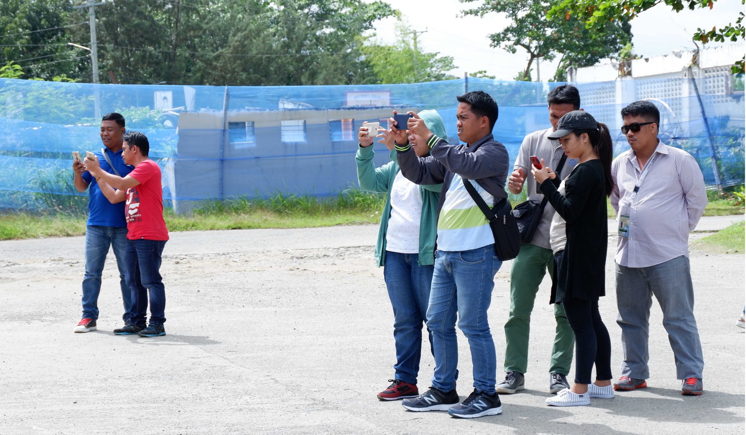
The resource person, Engr. John Arnel Manalo, together with Mr. Ralph Mancio, GIS Data Officer of Philippine Rural Development Project from the Department of Agriculture – Regional Field Office 8, fired the first salvo, lecturing about Applied Geotagging Tools (AGTs) and their uses. He related the history of the technology and highlighted its importance in monitoring community livelihood/enterprise. The attendees, endowed with unbridled and infectious enthusiasm, engaged in hands-on geotagging activity within the vicinity of the venue. Their outputs were immediately processed afterward, and drawbacks were discussed and as well as how to counter them.
Next, Mr. Arnel Nombre, GIS Focal Person of the DA Region 8, took on the topic, Online Data Kit (ODK). A kit is a handy tool in farmers’ profiling where vital information about beneficiaries – the project they are involved with, commodity details, their organization, etc. are stored and easily accessed. With data they brought from their respective areas, participants readily applied their learning.
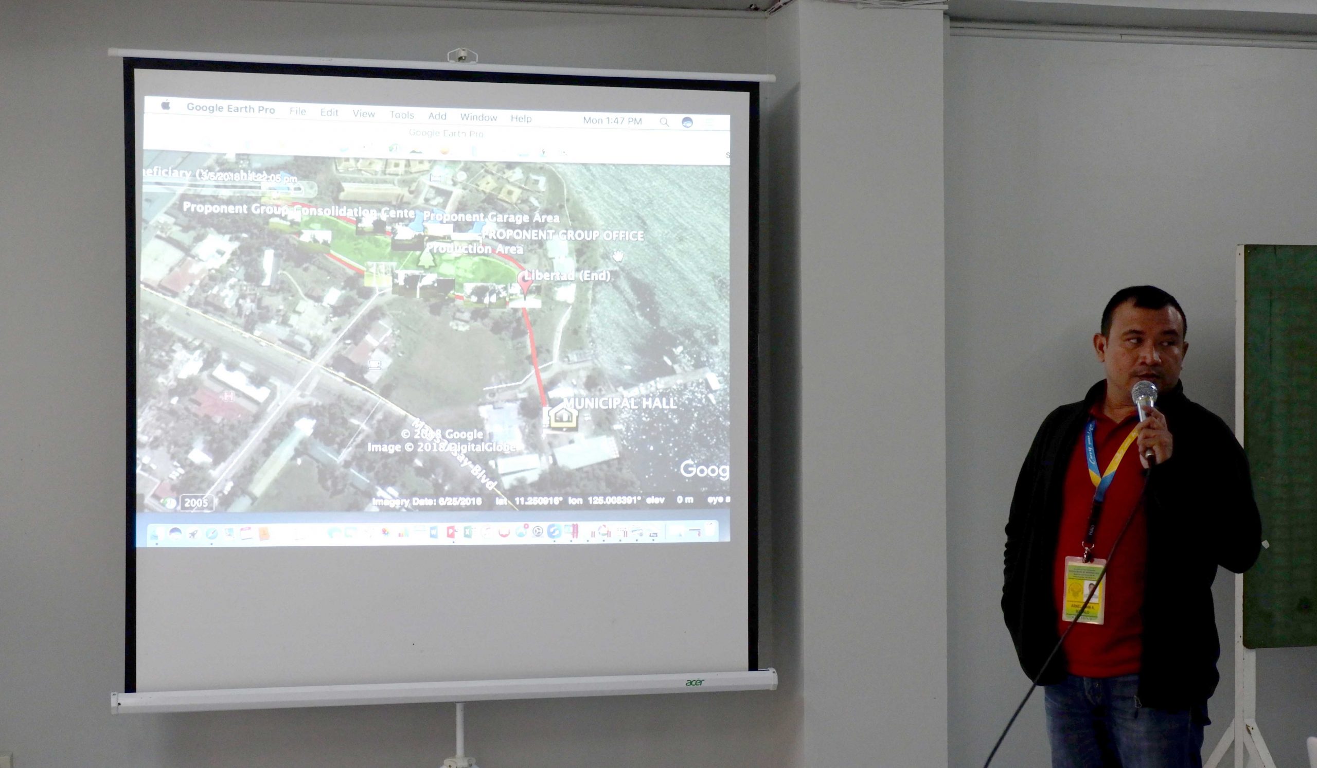
Finally, Mr. Nombre introduced the Quantum GIS topic. This innovative feature is useful during report presentation where colorful illustrations could facilitate in locating features of the program speedily and effortlessly. The training was offered as a package of technologies because, without the other two, GIS alone would not result in presenting a complete picture of the SAAD program..
The knowledge and skills acquired by the participants are indispensable in the task of monitoring and evaluation, and at this age of advanced technology and fast–paced lifestyles, they would be most useful to the implementers even beyond their engagement with SAAD program. ###
Contributing Writer: Michael Dabuet, SAAD Region 8 staff
Comments (0)